CIOERT Funded Research Products
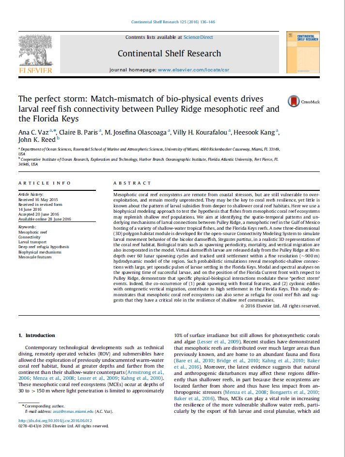
The perfect storm: match-mismatch of bio-physical events drives larval reef fish connectivity between Pulley Ridge mesophotic reef and the Florida Keys
Mesophotic coral reef ecosystems are remote from coastal stressors, but are still vulnerable to over-exploitation, and remain mostly unprotected. They may be the key to coral reefs resilience, yet little is known about the pattern of larval subsidies from deeper to shallower coral reef habitats. Here we use a biophysical modeling approach to test the hypothesis that fishes from mesophotic coral reef ecosystems may replenish shallow reef populations. We aim at identifying the spatio-temporal patterns and underlying mechanisms of larval connections between Pulley Ridge, a mesophotic reef in the Gulf of Mexico hosting of a variety of shallow-water tropical fishes, and the Florida Keys reefs.
State of deep-sea coral and sponge ecosystems of the Southeast United States
The Southeast U.S. region stretches from the Straits of Florida north to Cape Hatteras, North Carolina, and encompasses the Southeast U.S. Continental Shelf large marine ecosystem (LME; Carolinian ecoregion) and associated deeper waters of the Blake Plateau, as well as a small portion of the Caribbean LME off the Florida Keys (eastern portion of the Floridian ecoregion). Within U.S. waters, deep‐sea stony coral reefs reach their greatest abundance and development in this region (Ross and Nizinski 2007). This warm temperate region is strongly influenced by the northern‐flowing Gulf Stream. Along with the Gulf of Mexico, this region has been the focus of some of the most extensive U.S. deep‐sea coral research, yet many of the region’s deeper waters remain poorly explored.
South Atlantic MPAs and Oculina HAPC: Characterization of Benthic Habitat and Biota
This 2016 Cruise Report provides detailed quantitative characterization of the benthic habitat, benthic macro-biota, and fish populations for each of the 23 ROV dives completed. Appendix 1 provides a species list and percent cover of benthic biota observed at each dive site. Appendix 2 provides a species list and densities of fish species observed at each dive site. Appendix 3 provides a SEADESC Level II Report for each dive site
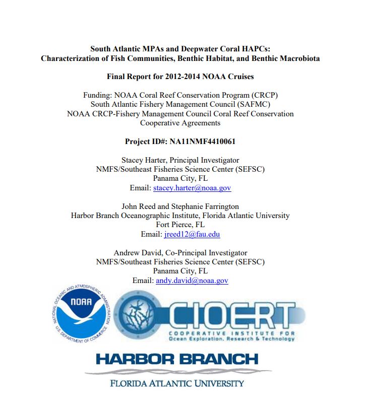
South Atlantic MPAs and Deepwater Coral HAPCs: Characterization of Fish Communities, Benthic Habitat, and Benthic Macrobiota
This report summarizes the three cruises that were conducted from 2012 to 2014 in support of this NOAA Coral Reef Conservation Program (CRCP) and SAFMC grant. These included: NOAA Ship Pisces Cruise 12-03, July 6-19, 2012; NOAA Ship Pisces 13-03, July 2-11, 2013; and NOAA Ship Nancy Foster Cruise 14-08; June 18-27, 2014. The UNCW Super Phantom ROV was used in 2012 and 2013 and the new Flower Garden Banks National Marine Sanctuary (FGBNMS) Mohawk ROV (operated by UNCW) with fiber optics umbilical and high-definition video was used in 2014. Collaborators included the Cooperative Institute for Ocean Exploration, Research, and Technology (CIOERT) at Harbor Branch Oceanographic Institute, Florida Atlantic University (HBOI-FAU), College of Charleston, and University of North Carolina at Wilmington (ROV operations).
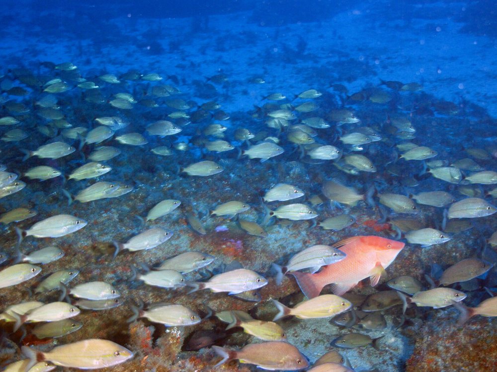
South Atlantic MPAs and deepwater coral HAPCs: Characterization of Benthic Habitat and Biota; NOAA Ship Pisces Cruise 13-03
This Final Cruise Report provides a detailed characterization of the benthic habitat, benthic sessile biota, and fish populations for each ROV dive site. In addition, this report uses analysis of similarity (PRIMER) to compare the fish populations, benthic communities, and habitat types among the various shelf-edge MPA sites, the proposed MPA sites, and other non-protected sites outside of the MPAs. Appendices 1 and 2 provide the complete species list of benthic biota and fish, respectively, observed at each dive site. Appendix 3 provides a SEADESC Level II Report for each dive site, including: cruise and ROV dive metadata, figures showing each ROV dive track and habitat zones overlaid on multibeam sonar maps, dive track data (start and end coordinates and depth), objectives, CTD plots, general description of the habitat and biota, and images of the biota and habitat that characterize the dive site. The SEADESC Level II Report also provides quantitative analyses of each dive site including: 1) CPCe 4.1© Coral Point Count analysis of percent cover of benthic biota and substrate types, and 2) densities of fish populations (# individuals/km for each species).
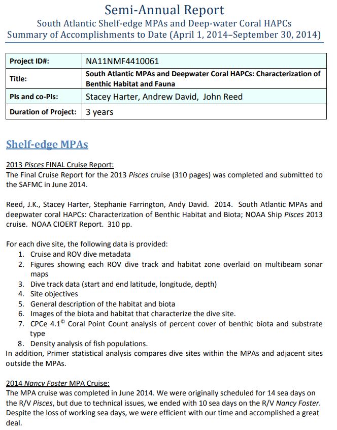
Semi‐Annual Report – South Atlantic Shelf‐edge MPAs and Deep‐water Coral HAPCs Summary of Accomplishments to Date
Shelf‐edge MPAs 2013 Pisces FINAL Cruise Report: The Final Cruise Report for the 2013 Pisces cruise (310 pages) was completed and submitted to the SAFMC in June 2014.
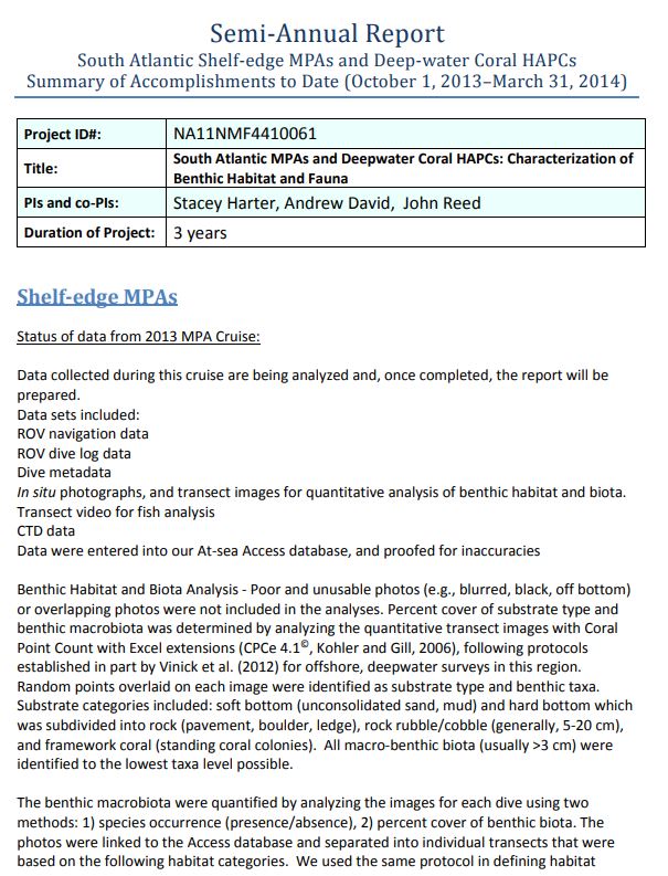
Semi-Annual Report. South Atlantic Shelf-Edge MPAs and Deep-Water Coral HAPCs. Summary of Accomplishments
Shelf‐Edge MPAs Status of data from 2013 MPA Cruise: Data collected during this cruise are being analyzed and, once completed, the report will be prepared. Data sets included: ROV navigation data ROV dive log data Dive metadata In situ photographs, and transect images for quantitative analysis of benthic habitat and biota. Transect video for fish analysis CTD data Data were entered into our At‐sea Access database, and proofed for inaccuracies
Pulley Ridge, Gulf of Mexico, USA
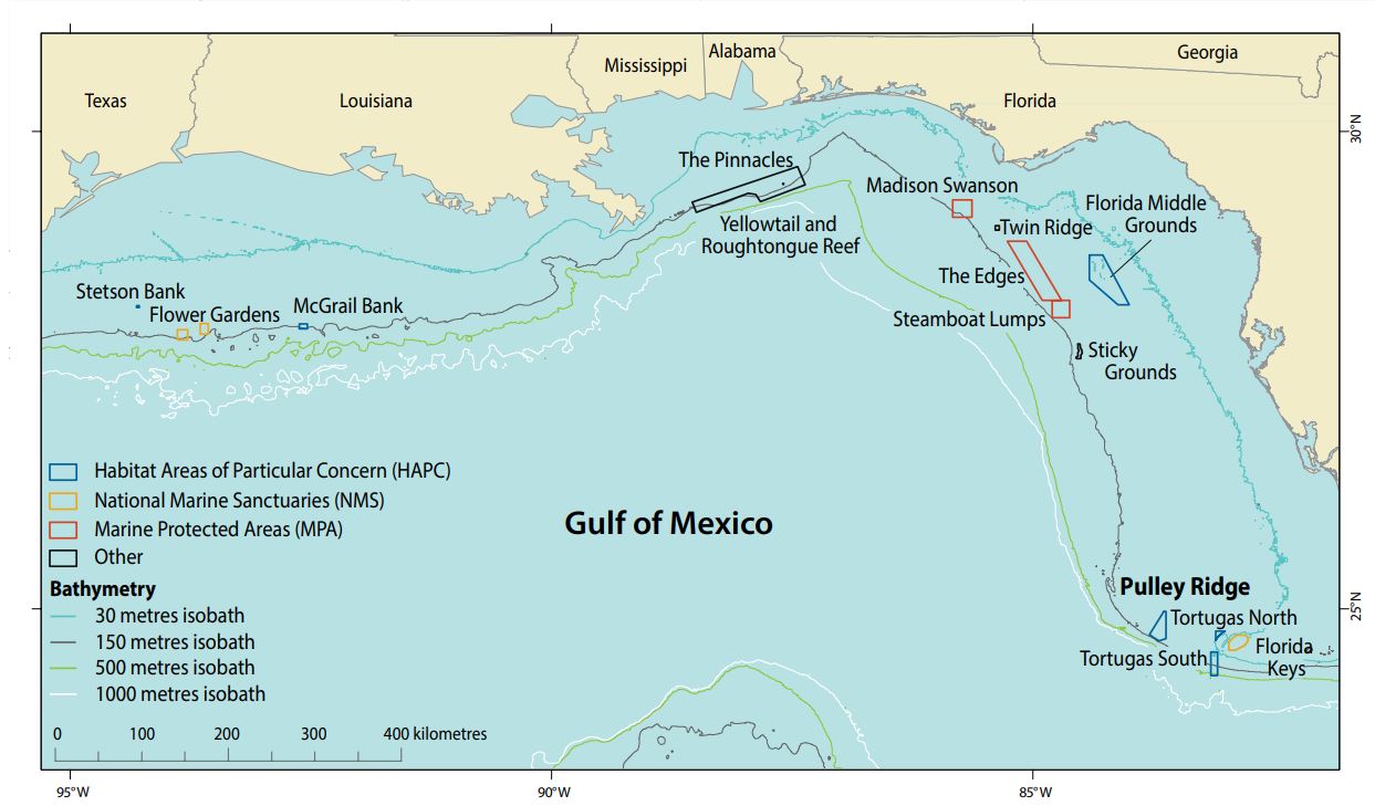
Pulley Ridge, located in the Gulf of Mexico, lies about 250 km west of the Florida coast and extends from north to south along the southwestern Florida platform at depths of 60–90 m for nearly 300 km (Figure 1; Hine et al. 2008). Only the southernmost 34 km of Pulley Ridge, referred to as southern Pulley Ridge, supports MCEs (Figure 2; Cross et al. 2005, Reed et al. 2014, 2015). Southern Pulley Ridge is about 160 km2 in size (Cross et al. 2005, Culter et al. 2006) with 10 m relief and represents a drowned barrier island from the last glacial period. Pulley Ridge is the deepest known light- dependent coral reef ecosystem off the continental United States (Halley et al. 2003).
Pulley Ridge, Gulf of Mexico, USA
In the past 10 years, the Pulley Ridge MCE had a substantial loss of scleractinian coral. The percent coral cover on the Main Ridge dropped from 12.8% in 2003 to 0.9% by 2012–2015, a 93% loss of coral. However, recent surveys show the majority of corals to be relatively healthy; only 1.21% of the colonies counted (38,368) showed signs consistent with “white syndromes” disease. The prevalence of disease on Pulley Ridge is relatively low compared to the Caribbean. The factors causing the decline of the coral communities at Pulley Ridge between 2003 and 2012 are unknown.
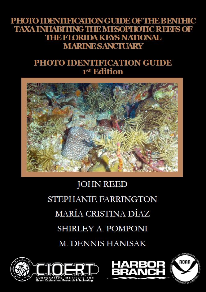
Photo Identification Guide of the Benthic Taxa Inhabiting the Mesophotic Reefs of the Florida Keys National Marine Sanctuary
This publication is the first taxonomic identification photo guide of the benthic macrobiota for the mesophotic coral reefs of the FKNMS. This is a first step towards the characterization of a highly diverse and poorly known component of these unique deep-water benthic communities. From 2011 to 2019, NOAA Fisheries and HBOI-FAU CIOERT surveyed with ROV the shelf-edge and deep-water Marine Protected Areas (MPAs) and Habitat Areas of Particular Concern (HAPCs) of the southeastern US extending from South Florida to North Carolina, which covered 529 km2 of sea floor at depths of 48 to 1240 m along the continental shelf. ROV photographic and video transects recorded 43,542 images. From these images, 278 photographs were selected which represented common sponge morphotypes distinguished while interpreting the ROV photo transects. This resulted in a photographic field guide of the sponges associated with these shelf-edge MPAs and HAPCs (Diaz et al., 2021). Many of these are within the mesophotic and rariphotic depth zones. We also have three photographic field guides for the mesophotic reefs of Cuba, including a sponge guide (Diaz et al., 2019), a macroalgal guide (Martínez-Daranas et al., 2018), and fish guide (David et al., 2018). Some of these species will overlap with what we have found on the FKNMS mesophotic reefs.
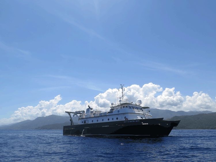
Ocean Velocity Collected from R/V F. G. Walton Smith in Cuba
Ocean Velocity Collected from R/V F. G. Walton Smith in Cuba R. Smith, J.bReed, M. Jiang, S. Farrington Smith R, Reed J, Jiang M, Farrington. S. 2020. Ocean Velocity collected from R/V F. G. WALTON SMITH in Cuba, Northwestern Caribbean Sea, and others from 2017-05-14 to 2017-06-13. . NOAA National [...]
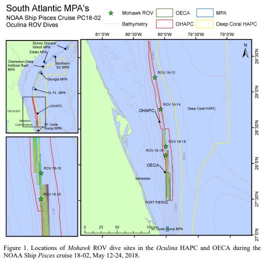
NOAA CIOERT cruise report South Atlantic MPAs and Oculina HAPC: Characterization of Benthic Habitat and Biota NOAA Ship Pisces Cruise 17-02
This 2018 Cruise Report provides detailed quantitative characterization of the benthic habitat, benthic macro-biota, and fish populations for each of the 26 ROV dives completed. Appendix 1 provides a species list and percent cover of benthic biota observed at each dive site. Appendix 2 provides a species list and densities of fish species observed at each dive site. Appendix 3 provides a SEADESC Level II Report for each dive site
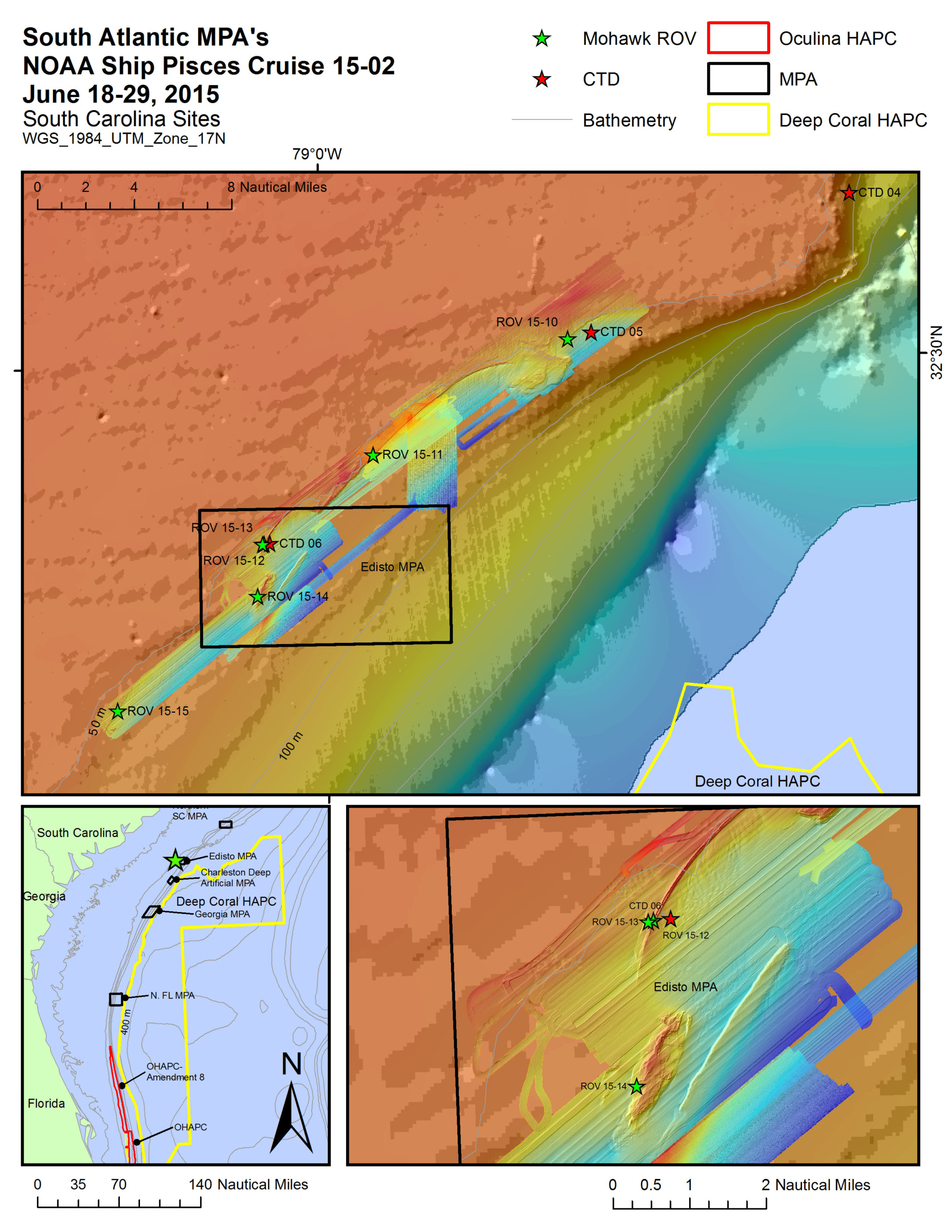
NOAA CIOERT Cruise Report South Atlantic MPAs and Oculina HAPC: Characterization of Benthic Habitat and Biota NOAA Ship Pisces Cruise 15-02
This 2015 Cruise Report provides detailed quantitative characterization of the benthic habitat, benthic macro-biota, and fish populations for each of the 22 ROV dives completed. Appendix 1 provides a species list and percent cover of benthic biota observed at each dive site. Appendix 2 provides a species list and densities of fish species observed at each dive site. Appendix 3 provides a SEADESC Level II Report for each dive site.
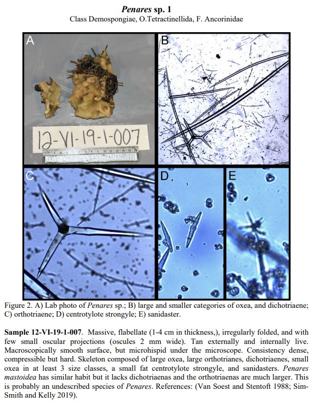
Morphological diagnoses of Sponges Collected at Shelf-edge MPAs from Eastern Florida to North Carolina
This paper is a result of the taxonomic analyses of the sponges collected during the NOAA Ship Pisces expeditions in 2018 and 2019 with the University of North Carolina, Wilmington (UNCW) Mohawk ROV. This is part of a 9-year project conducted by NOAA National Marine Fisheries (NMF) in collaboration with the Cooperative Institute for Ocean Exploration, Research, and Technology (CIOERT) at Harbor Branch Oceanographic Institute, Florida Atlantic University (HBOI-FAU) to document and monitor the Marine Protected Areas (MPAs) of the southeastern U.S. continental shelf (eastern Florida to North Carolina, 50-165 m deep).
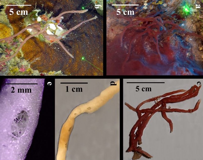
Mesophotic Sponges of the Genus Callyspongia (Demospongiae, Haplosclerida) from Cuba, with Descriptions of Two New Species
This study presents the description of two Callyspongia species new to science, and the distribution of all Callyspongia species recorded during the first joint Cuba–U.S. expedition to characterize Cuban mesophotic coral ecosystems (May– June 2017). Additionally, we propose a key to identify thin branching species of the genus in the Greater Caribbean. The observations here presented are the result of underwater explorations with the Mohawk Remotely Operated Vehicle dives at 35 sites around the island, at depths of 25–188 m, recording images and videos, and collecting specimens. The depth range of five species of Callyspongia, reported before in Cuba, has been extended to deeper waters.
Cuba’s Twilight Zone Reefs: Remotely Operated Vehicle Surveys of Deep/Mesophotic Coral Reefs And Associated Fish Communities of Cuba
A joint Cuba-U.S. expedition was conducted from May 14 to June 13, 2017 to map and characterize, for the first time, the extent and health of mesophotic coral ecosystems (MCEs) along the entire coastline of Cuba. Total ship transit around the island covered ~2,778 km (~1,500 nmi). Forty-three Remotely Operated Vehicle (ROV) dives at 36 stations confirmed the presence of MCEs habitat on all coasts of Cuba. ROV dives surveyed reefs from depths of 188 m to 18 m, covered 27 km, totaled 99 hours of bottom time, and resulted in 110 hours of high definition video. A total of 21,146 digital still images documented habitat and species, and photo transect images (7,248) will be used for future analyses of percent cover of benthic biota (corals, sponges, algae) and density of corals. The high-definition video will be used to document species composition and density of fish. 345 specimens of benthic macroinvertebrates and macroalgae were collected from mesophotic depths with the ROV, and 258 specimens from shallow snorkel dive sites; these will be used to verify taxonomy and assess population structure.
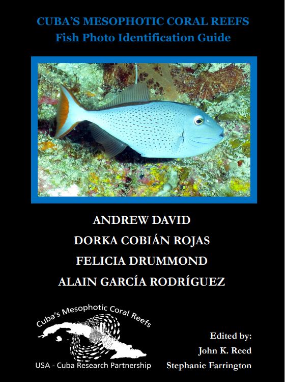
Cuba’s Mesophotic Reefs- Fish Photo Identification Guide
This photo album of selected fishes associated with Cuba’s mesophotic reefs resulted from a recent joint Cuba-U.S. expedition that was conducted from May 14 to June 13, 2017 to map and document the extent and health of mesophotic coral ecosystems (MCEs) along the entire coastline of Cuba. Total ship transit around the island covered ~2,778 km (~1,500 nmi). Forty-three Remotely Operated Vehicle (ROV) dives at 36 stations confirmed the presence of MCEs habitat on all coasts of Cuba.
Cuba’s Mesophotic Reefs and Associated Fish Communities
A joint Cuba-U.S. expedition was conducted May 14-June 12, 2017 to characterize for the first time the extent and health of mesophotic coral ecosystems (MCEs) along the entire coastline of Cuba. Remotely Operated Vehicle (ROV) dives at 36 sites confirmed the presence of MCE habitat along all coasts of Cuba. ROV dives covered 27 km, at depths of 25-188 m, and documented habitat and species with 103 hours of high-definition video and 21,146 digital images. A total of 477 taxa of benthic macrobiota and 178 fish taxa were identified, and 343 specimens of benthic invertebrates and algae were collected to verify taxonomy and assess population genetic structure. The primary geomorphological features were the Deep Island Slope (125- >150 m), Deep Fore-Reef Escarpment (the ‘Wall’, 50-125 m), and Deep Fore-Reef Slope (30-50 m).
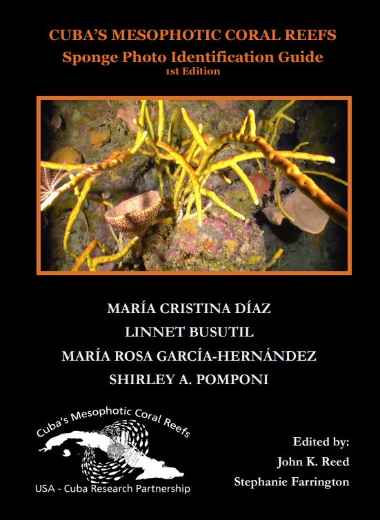
Cuba’s Mesophotic Coral Reefs- Sponge Photo Identification Guide, Edition 1
This photo album of selected sponges associated with Cuba’s mesophotic reefs resulted from a recent joint Cuba-U.S. expedition that was conducted from May 14 to June 13, 2017 to map and document the extent and health of MCEs along the entire coastline of Cuba. Total ship transit around the island covered ~2,778 km (~1,500 nmi). Forty-three Remotely Operated Vehicle (ROV) dives at 36 stations confirmed the presence of MCEs habitat on all coasts of Cuba
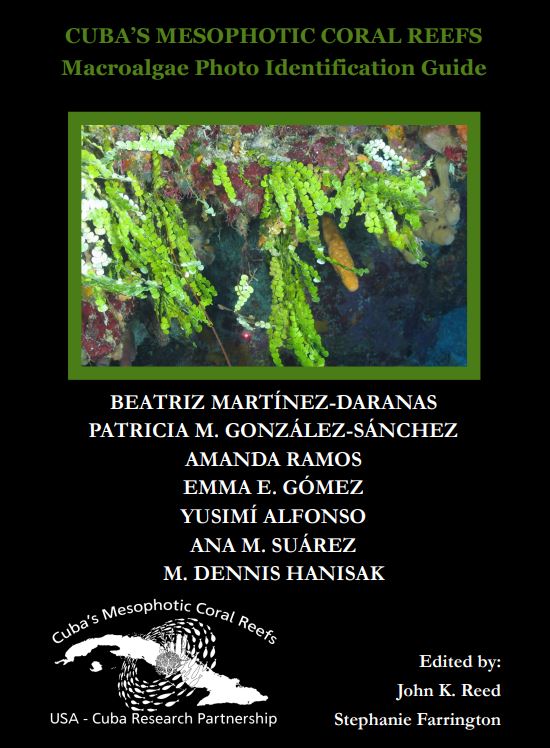
Cuba’s Mesophotic Coral Reefs- Macro Algae Photo Identification Guide
This photo album of selected macroalgae associated with Cuba’s mesophotic reefs resulted from a recent joint Cuba-U.S. expedition that was conducted from May 14 to June 13, 2017 to map and document the extent and health of MCEs along the entire coastline of Cuba. Total ship transit around the island covered ~2,778 km (~1,500 nmi). Forty-three Remotely Operated Vehicle (ROV) dives at 36 stations confirmed the presence of MCEs habitat on all coasts of Cuba.
Characterization of the Mesophotic Coral Reefs in the Florida Keys National Marine Sanctuary
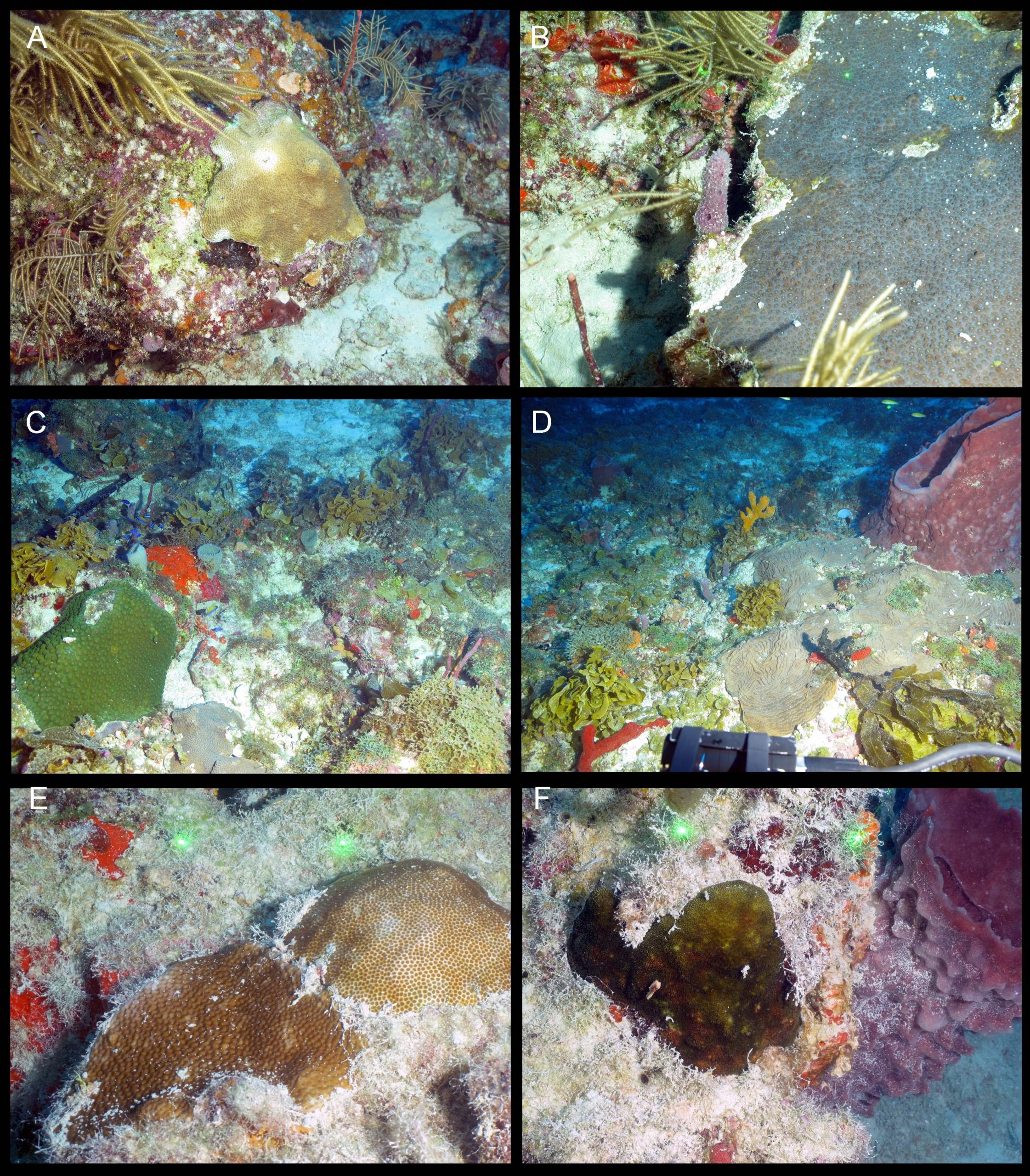
This report is a step towards the characterization of a highly diverse and poorly known component of these unique deep-water benthic communities in the mesophotic zone. In addition, the accompanying publication (Reed et al., 2021; Photo Identification Guide of the Benthic Taxa Inhabiting the Mesophotic Reefs of the Florida Keys National Marine Sanctuary) represents the first taxonomic identification photo guide to the most common benthic taxa observed while exploring the mesophotic reefs of the FKNMS. From 2011 to 2019, NOAA Fisheries and HBOIFAU CIOERT also surveyed with ROV the shelf-edge and deep-water Marine Protected Areas (MPAs) and deep-water Habitat Areas of Particular Concern (HAPCs) of the southeastern US extending from South Florida to North Carolina at depths of 48 to 1240 m. This resulted in a photographic field guide of the sponges associated with these reefs (Diaz et al., 2021). Many of these species are within the mesophotic and rariphotic depth zones. We also have three photographic field guides for the mesophotic reefs of Cuba, including a sponge guide (Diaz et al., 2019), a macroalgal guide (Martínez-Daranas et al., 2018), and fish guide (David et al., 2018). Some of these species will overlap with what we have found on the FK mesophotic reefs.
Characterization and interrelationships of deepwater coral/sponge habitats and fish communities off Florida, USA
In 2009 and 2010, the South Atlantic Fishery Management Council (SAFMC) and the U.S. National Oceanographic and Atmospheric Administration (NOAA) through the Magnuson Stevens Fishery Management Act established eight deepwater, shelf-edge marine protected areas (MPAs) and five deepwater coral habitat areas of particular concern (CHAPCs) along the outer continental shelf and upper slope off the southeastern United States. This study focused on the deepwater protected managed areas on Pourtalès Terrace, south of the Florida Keys, which includes the East Hump MPA and the Pourtalès Terrace CHAPC, and documented the benthic habitats, fish communities, and benthic macrofaunal communities associated with deepwater, high-relief geological features.

